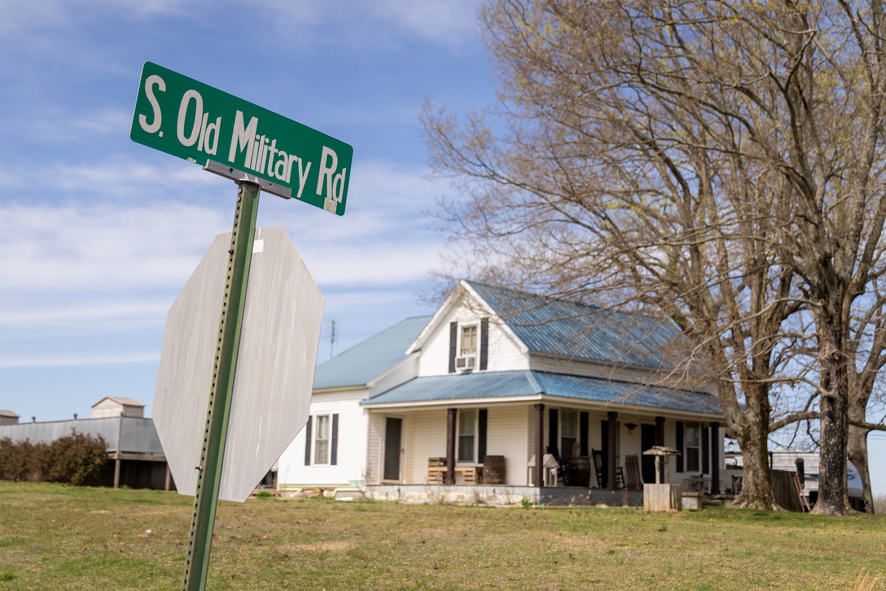
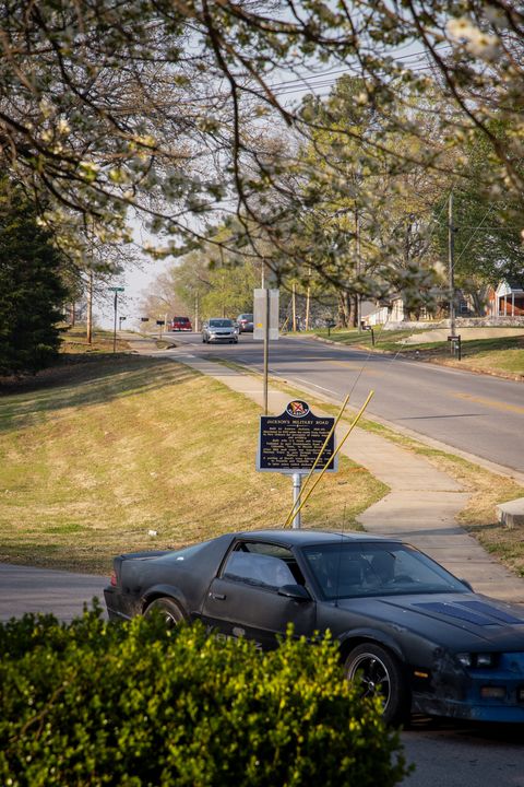
Jackson’s Military Road
Andrew Jackson’s Military Road in Alabama holds historical significance as a testament to the United States’ westward expansion during the early 19th century. Named after President Andrew Jackson, this road played a pivotal role in connecting the southeastern states to the newly acquired Mississippi Territory, promoting settlement, trade, and military control. The Mississippi Territory was a significant frontier region initially organized by the US government out of lands acquired from the Chickasaw and Choctaw Native American tribes through treaties. It eventually became the states of Mississippi (1817) and Alabama (1819). The road allowed for quicker military responses to potential threats, solidifying American control over the territory and laying the groundwork for further expansion to the west. It also provided settlers with a more navigable direct route into the area.
The idea for Jackson’s Military Road developed during the Creek War of 1813-1814—a conflict between the US and the Red Sticks, a faction of the Muscogee Creek peoples in Alabama. Jackson, then a general in the United States Army, recognized the need for better transportation in the region to aid in supply and troop movements. In 1816 Congress authorized the construction of a military road to link Nashville, Tennessee, with New Orleans, Louisiana, passing through the northwest corner of Alabama.
Construction of the road began quickly, with military engineers overseeing the project. The road followed a path through dense forests, swamps, and uneven terrain, making construction challenging. Laborers, often including enslaved individuals, worked to clear the way and build bridges. The road was completed in segments over several years, with the final stretch through Alabama completed around 1820. This route has remained active and evolved to match the changing needs of travelers through various upgrades from its beginning to present.
One of the most significant road improvement efforts in Alabama was the development of rural roads in the 20th century. The passage of the Federal Aid Road Act of 1916 and the subsequent establishment of the Alabama State Highway Department (now the Alabama Department of Transportation) in 1919 marked the beginning of a more organized approach to road construction. Along with road improvements, the construction of bridges over rivers and water bodies was a critical aspect of transportation development. The state invested in building and maintaining bridges to ensure safe passage for vehicles as they replaced previous forms of transportation.
Jackson’s Military Road had a profound impact on the region. It facilitated trade and settlement, connecting towns and communities that had previously been isolated. As Alabama transitioned from a primarily agrarian society to a more industrial and commercial one, the road was a key component of modernization. It allowed for the efficient movement of people and goods, setting the stage for further economic development. Businesses—including inns and taverns—often sprang up along major roads, serving travelers and contributing to local economies. These businesses played a vital role in supporting the road network. The road also allowed easier access to natural resources such as timber, minerals, and agricultural land. This accessibility spurred economic activity and resource extraction, contributing to the state’s overall prosperity.
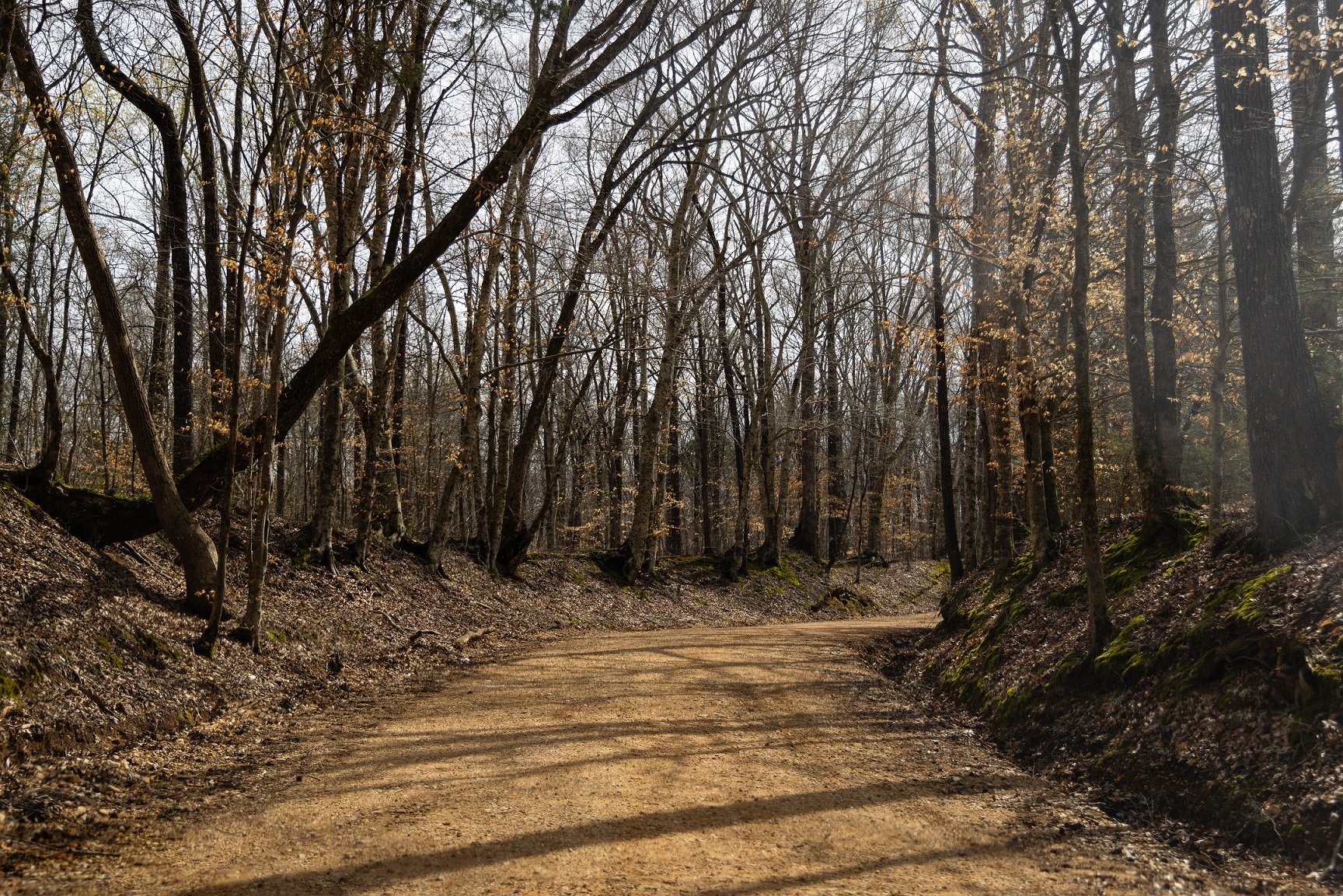
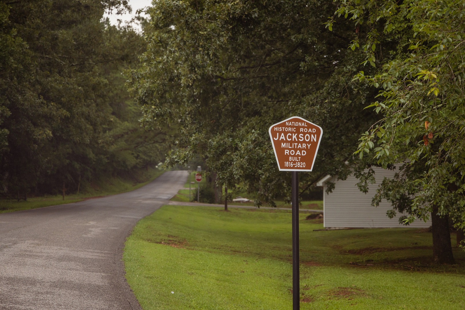
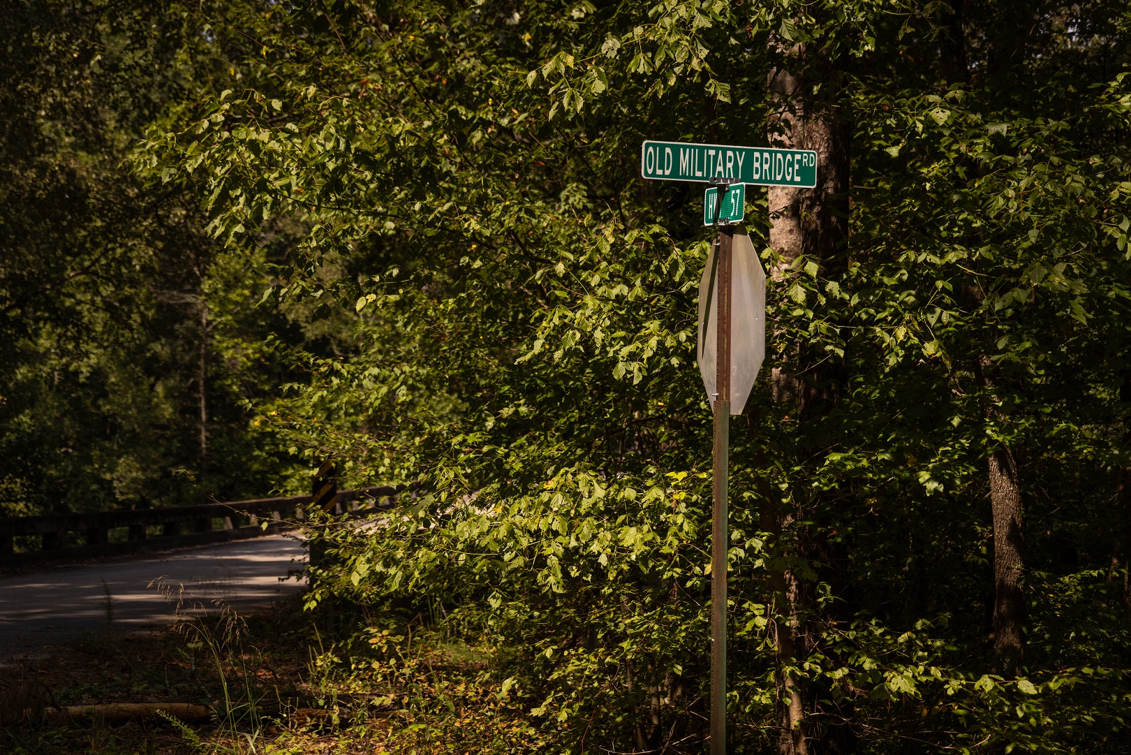
Today remnants of the road can still be found in Alabama, serving as a reminder of the nation’s early efforts to establish control and infrastructure in the newly acquired lands of the Southeast. Historical signage marks some parts of the old route today, particularly in the Russellville vicinity. Structures from the original road, such as old bridges, culverts, or stone foundations still exist, too.
However, many parts of the original military road have since merged into modern roads and highways, such as Old Highway 43 in Franklin County and County Road 47 in Lauderdale County. In these cases, the road may have been widened, paved, and updated to accommodate contemporary transportation needs. These sections blend into the broader road network, especially as the route traverses cities such as Florence and Tuscumbia. Although the landscapes through which the road passes have changed significantly, the urban areas still offer largely the same purpose—business targeting travelers such as restaurants and hotels.
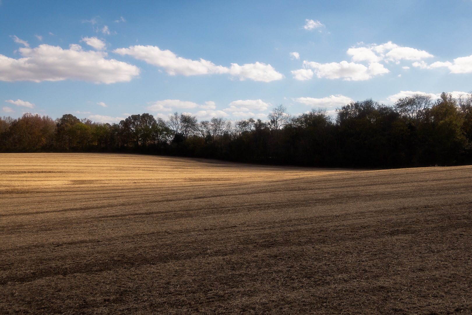
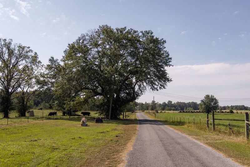
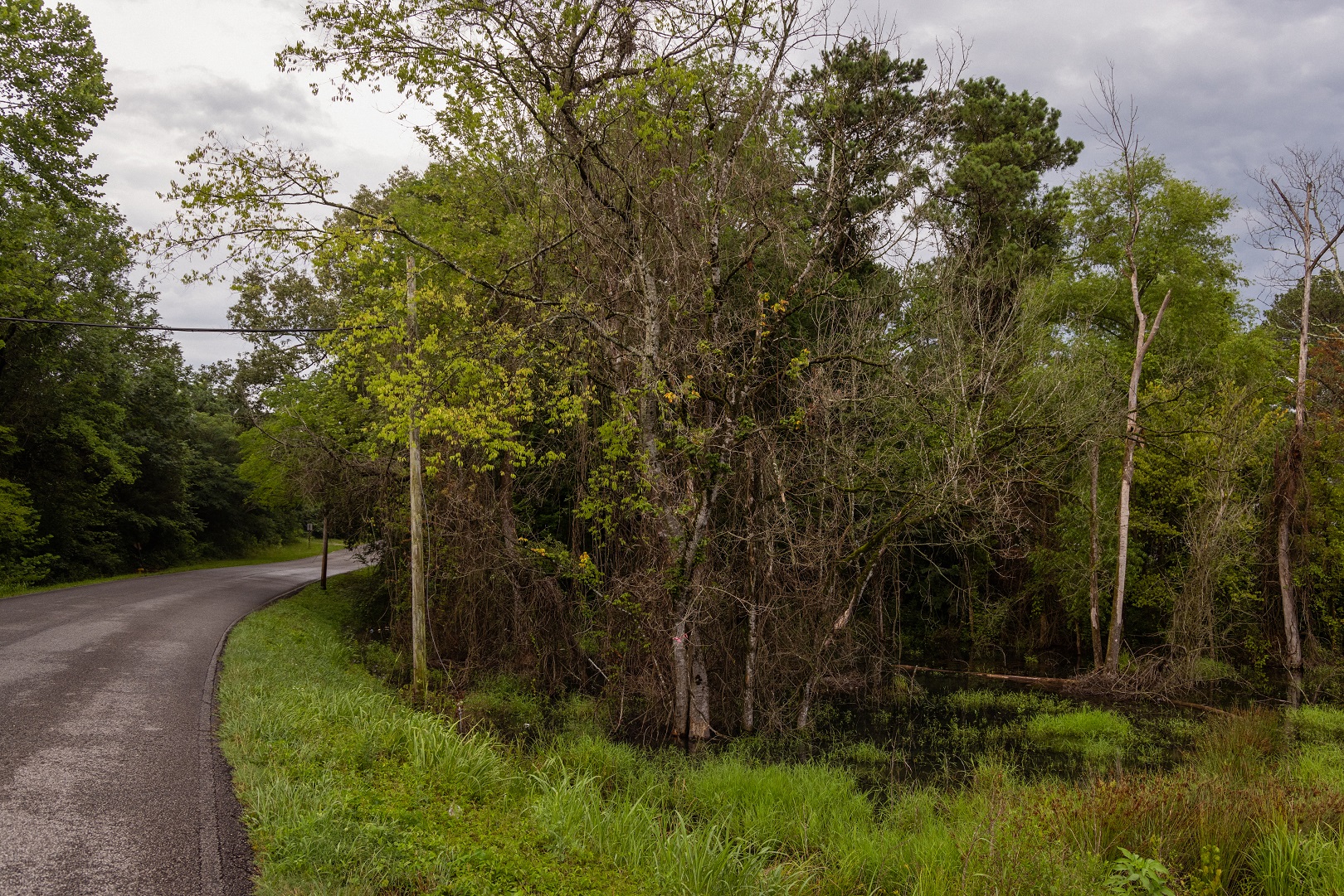
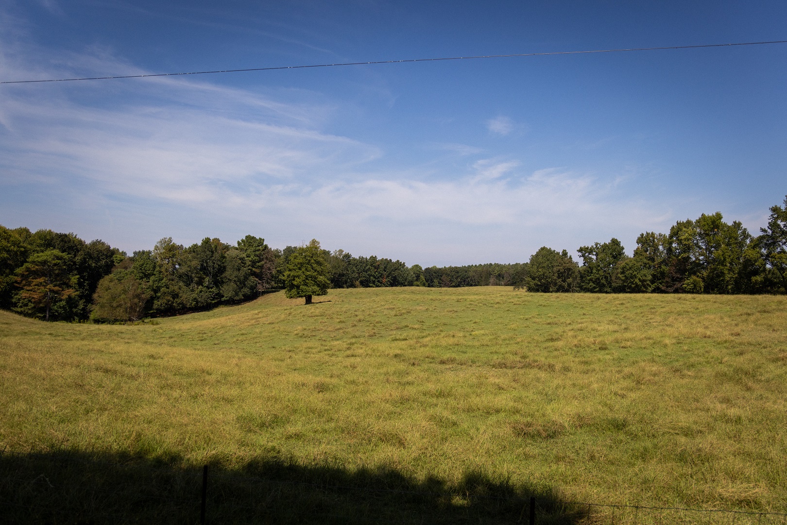
South of the Shoals population center, the road meanders through three topographical districts as the Highland Rim transitions to the Cumberland Plateau: the rolling terrain of the Little Mountain along the Colbert County southern boundary characterized by its sandstone outcroppings, the lowlands of the Moulton Valley that largely make up the pastoral landscapes around Russellville, and the steeply sloped Warrior Basin that makes up most of southern Franklin County. This shift in landscapes provides a winding drive that snakes along ridges and passes through wide valleys in the rural portions of the region.
Andrew Jackson’s Military Road in Alabama transitioned from a military route to a civilian highway, underwent modifications to accommodate changing needs, and eventually gave way to more advanced transportation infrastructure. Some organizations and historical societies have made efforts to preserve and maintain sections of Andrew Jackson’s Military Road. These preservation initiatives aim to protect the road’s historical significance and offer educational opportunities for visitors. Despite the changes to its appearance and location, the road’s legacy lives on in the history of Alabama and the broader development of the southeastern United States.
Keep scrolling to read photographer Abraham Rowe’s account of exploring today’s Jackson’s Military Road, and click on the map’s destinations to see his photos.
Explore Jackson’s Military Road
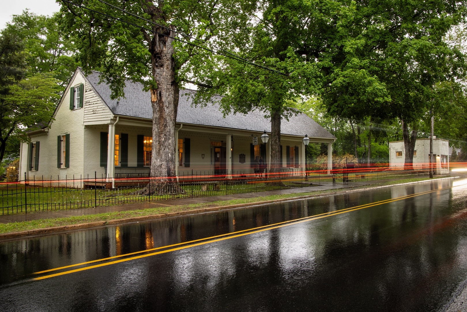
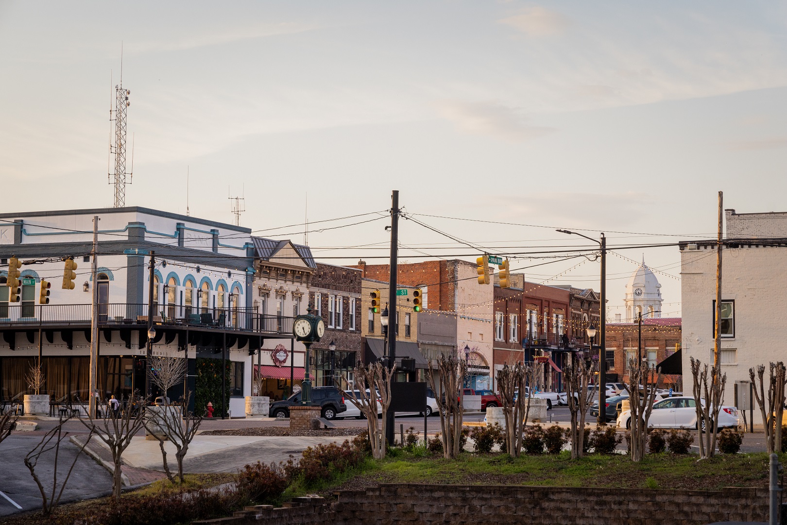
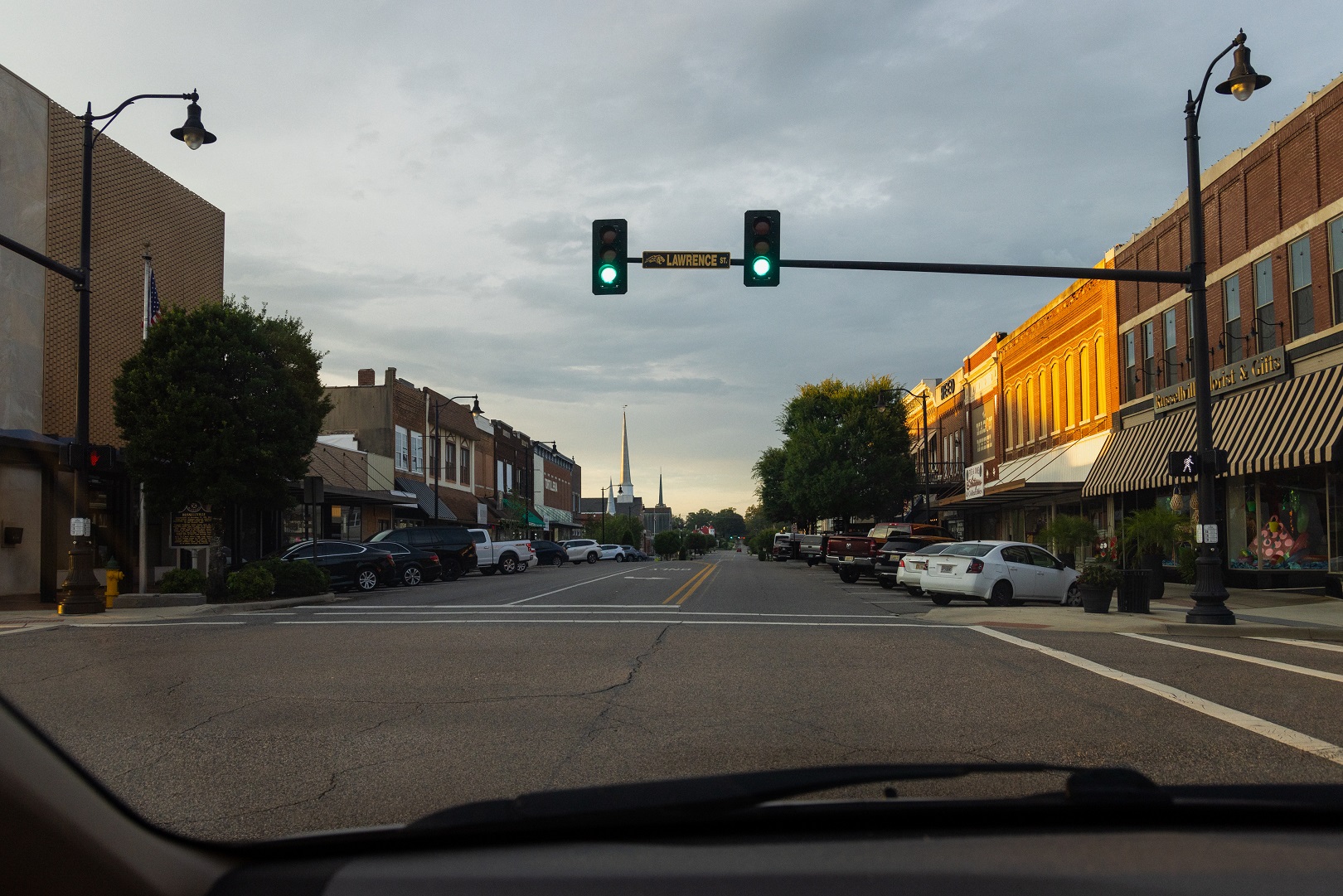
Downtown Russellville
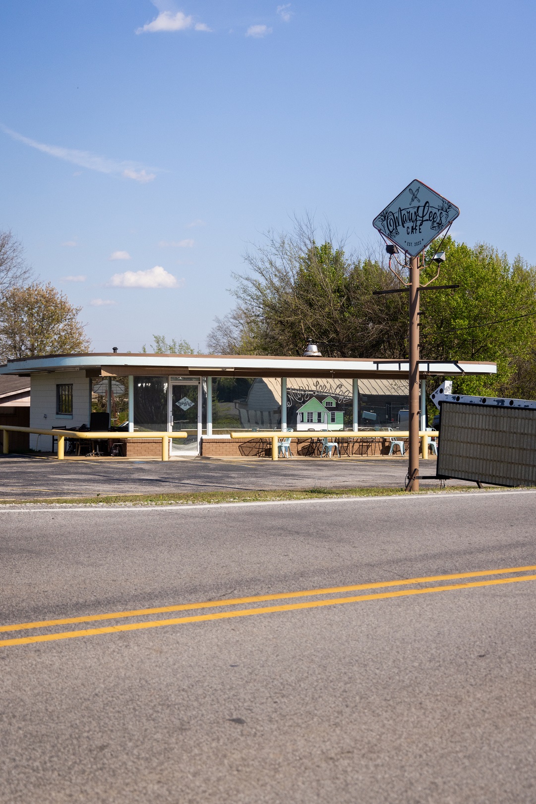
Russellville, named for Major William Russell and founded in 1819, has a history rooted in agriculture and industry. The town grew around the intersection of Jackson’s Military Road and Gaines Trace. Due to the agricultural economy present there, an influx of Hispanic immigrants began in the 1990s and has greatly contributed to its present-day status as an extremely diverse city in Franklin County.
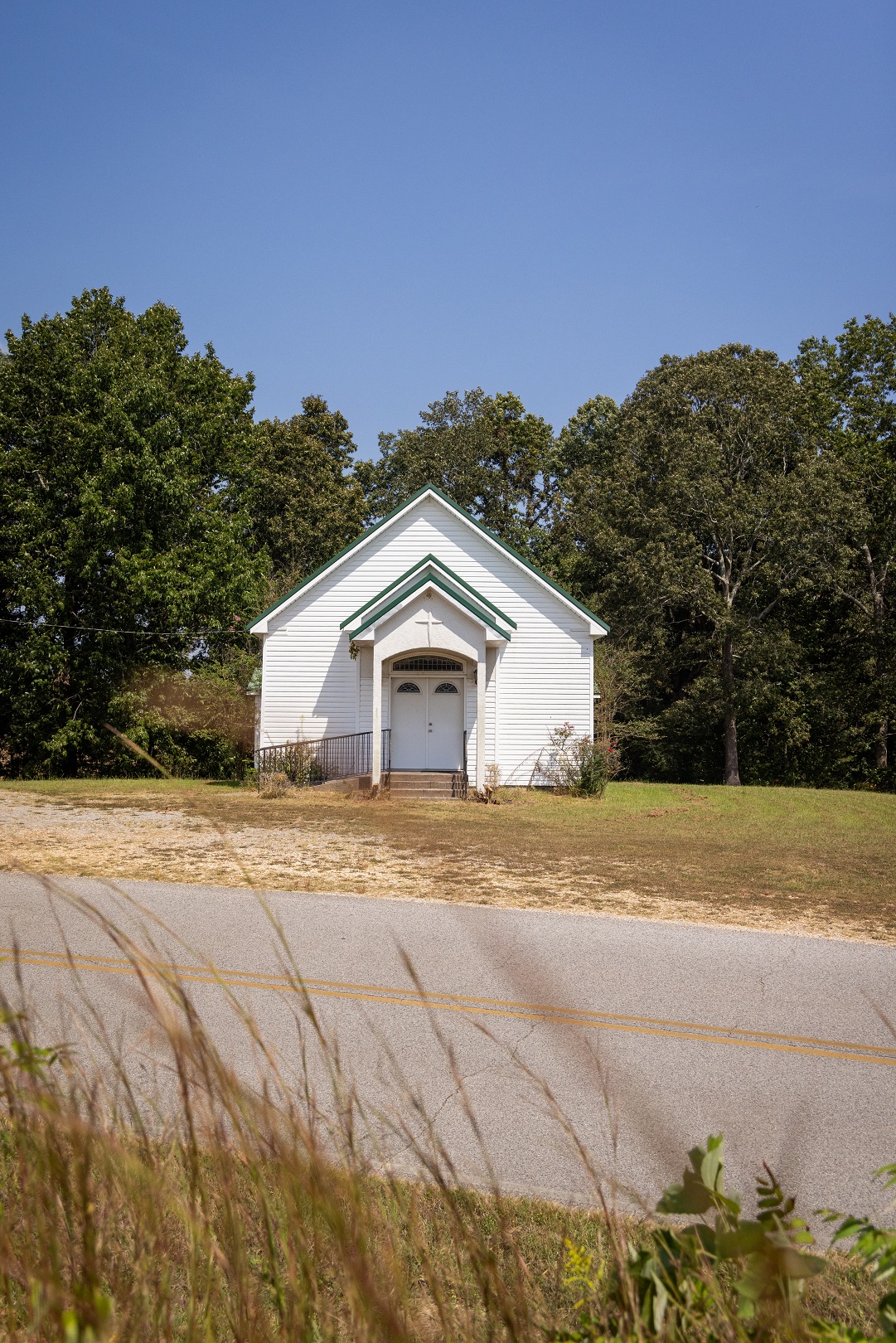
Green Hill
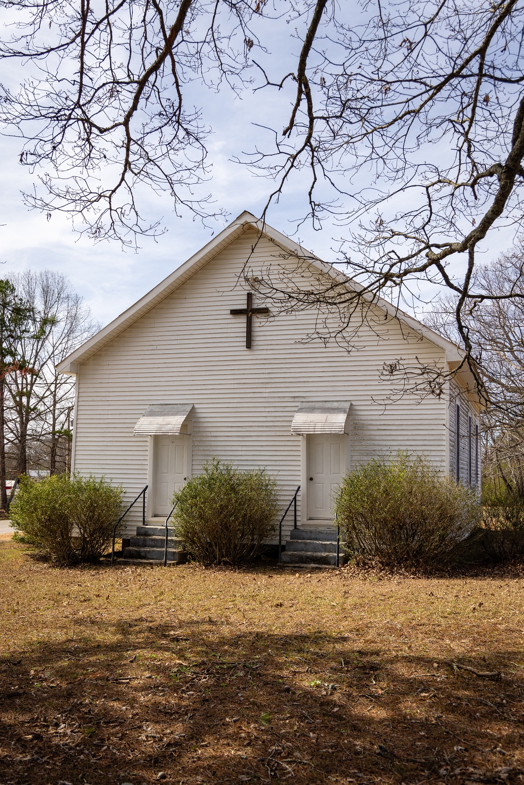
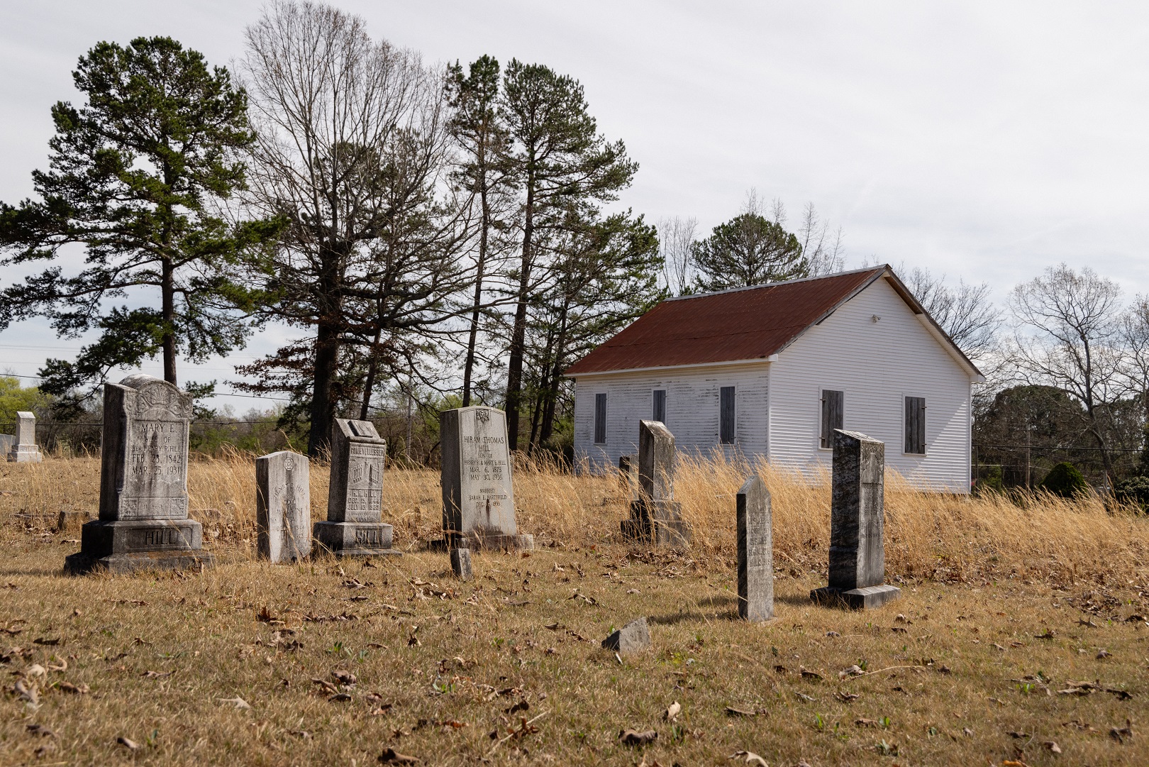
Green Berry Hill came to northwest Alabama from South Carolina where he established the Tabernacle Methodist Church in the 1820s and became the namesake for the surrounding community. He is buried in the adjoining cemetery situated alongside Jackson’s Military Road.

St. Florian
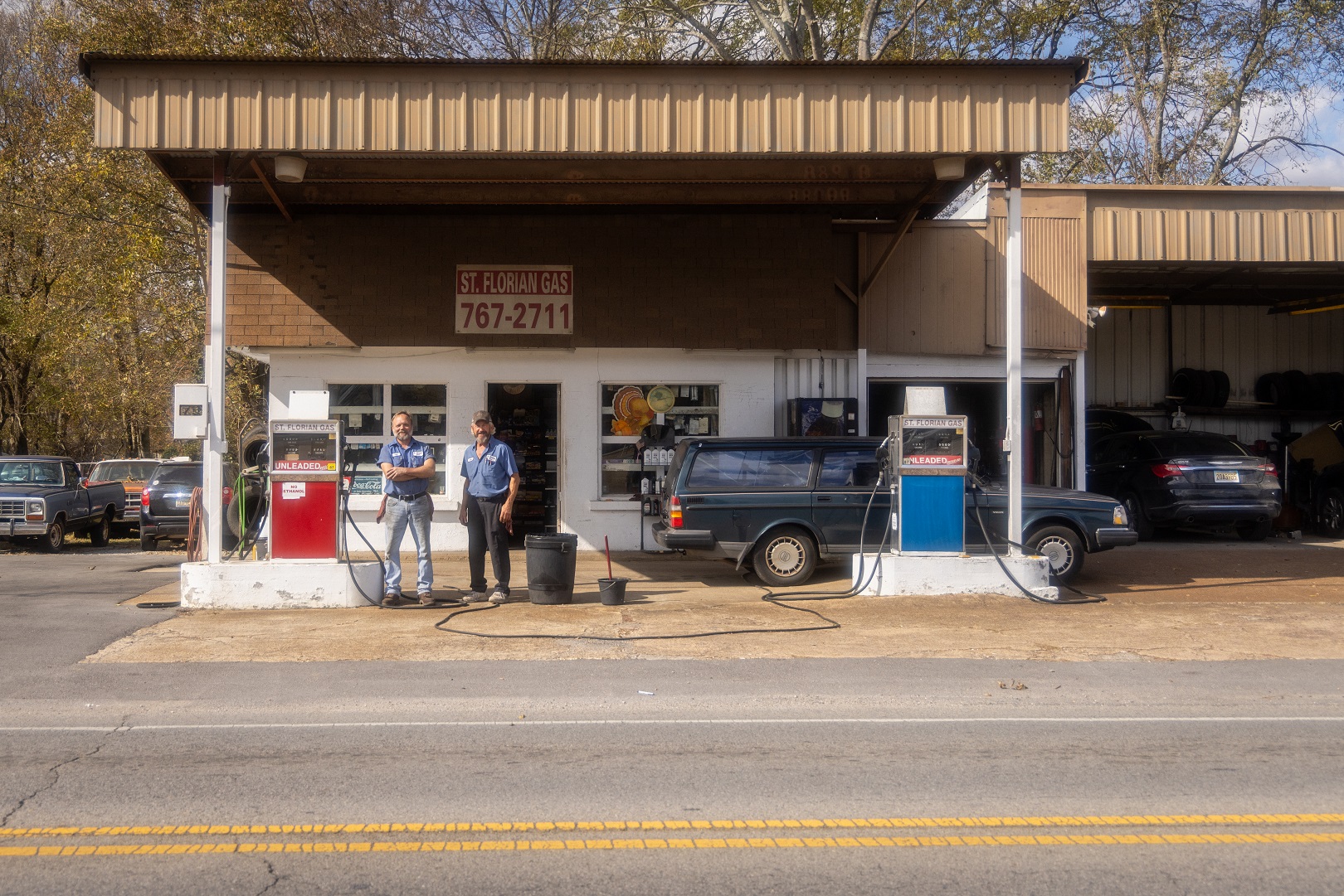
St. Florian was founded in the 1870s by a colony of German immigrants and named after the patron saint of fire and blacksmiths due to the town’s establishment around a foundry. The first post office was established in 1879, but only remained in operation until 1904.


Happy Hollow (St. Florian)

Florence


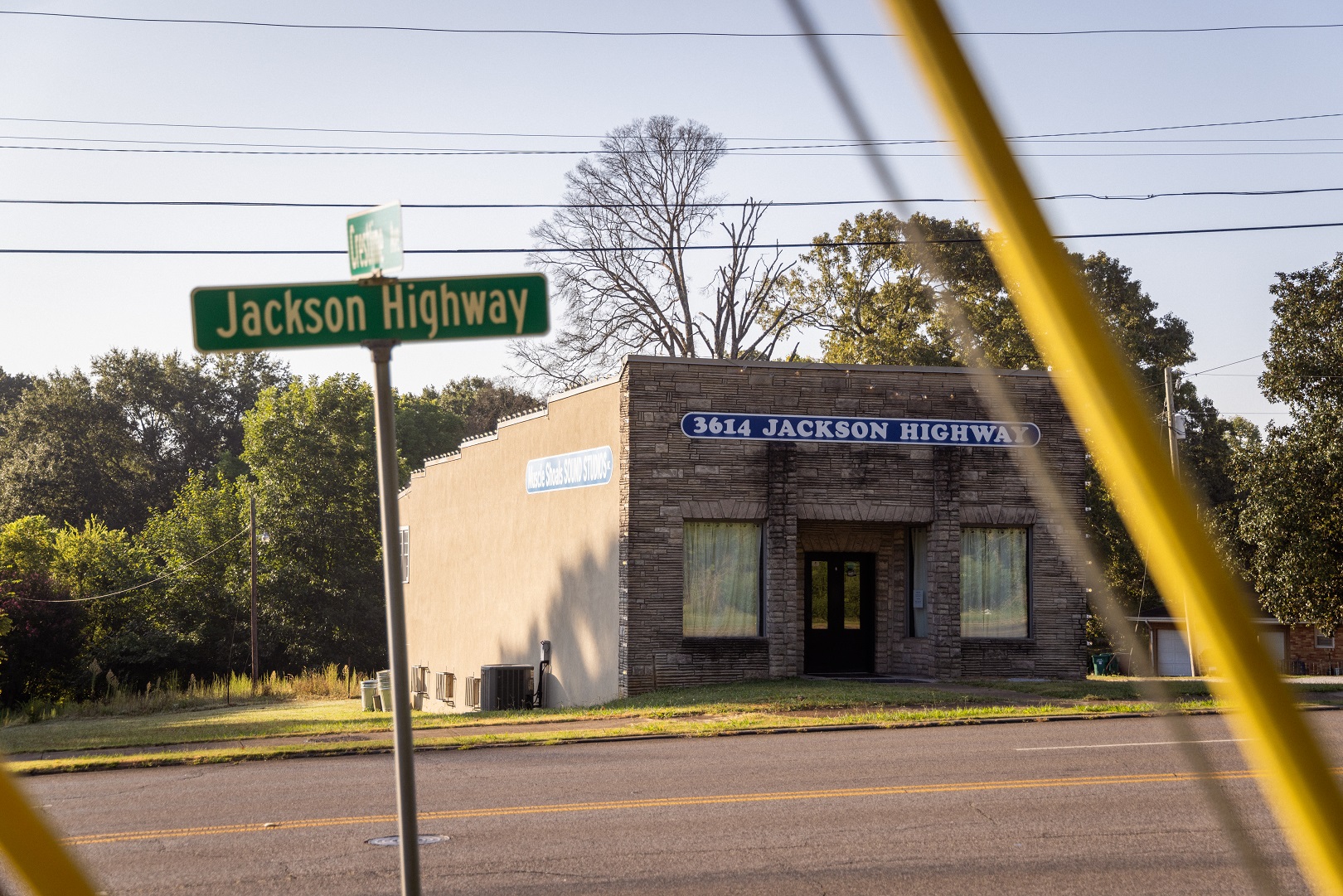
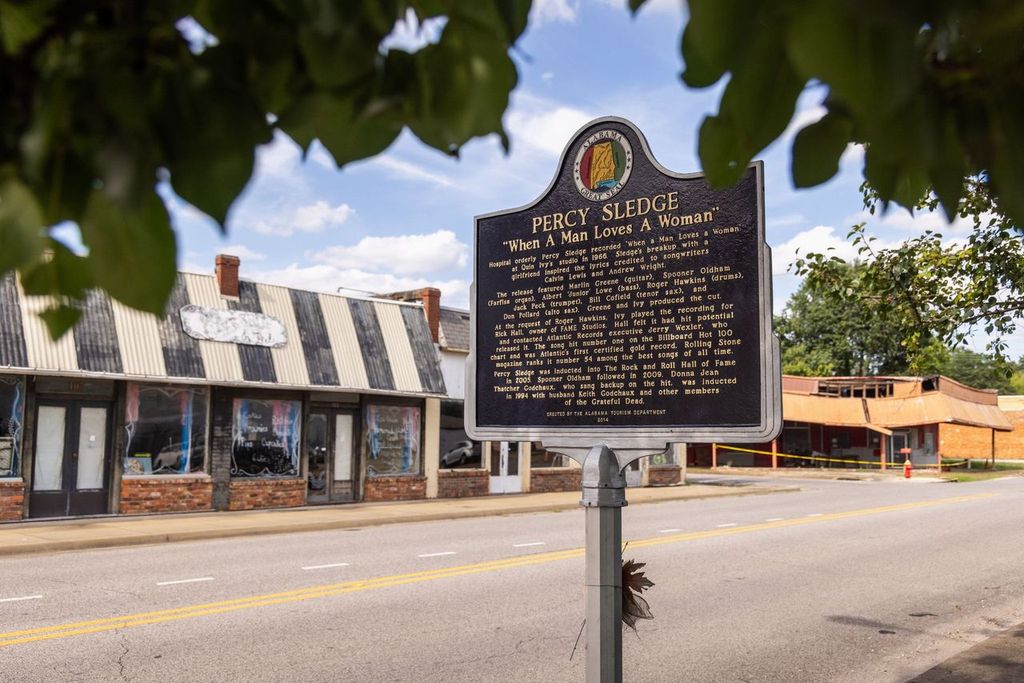
Muscle Shoals Sound


Downtown Sheffield


Tuscumbia
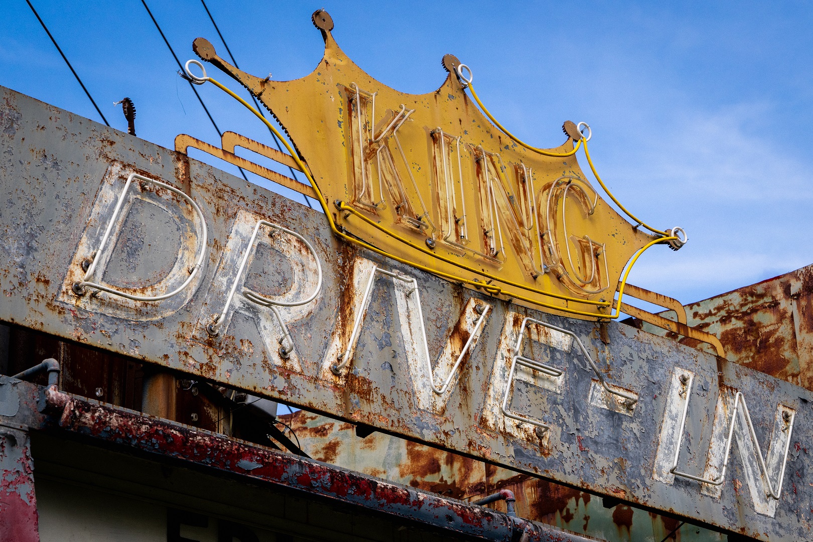
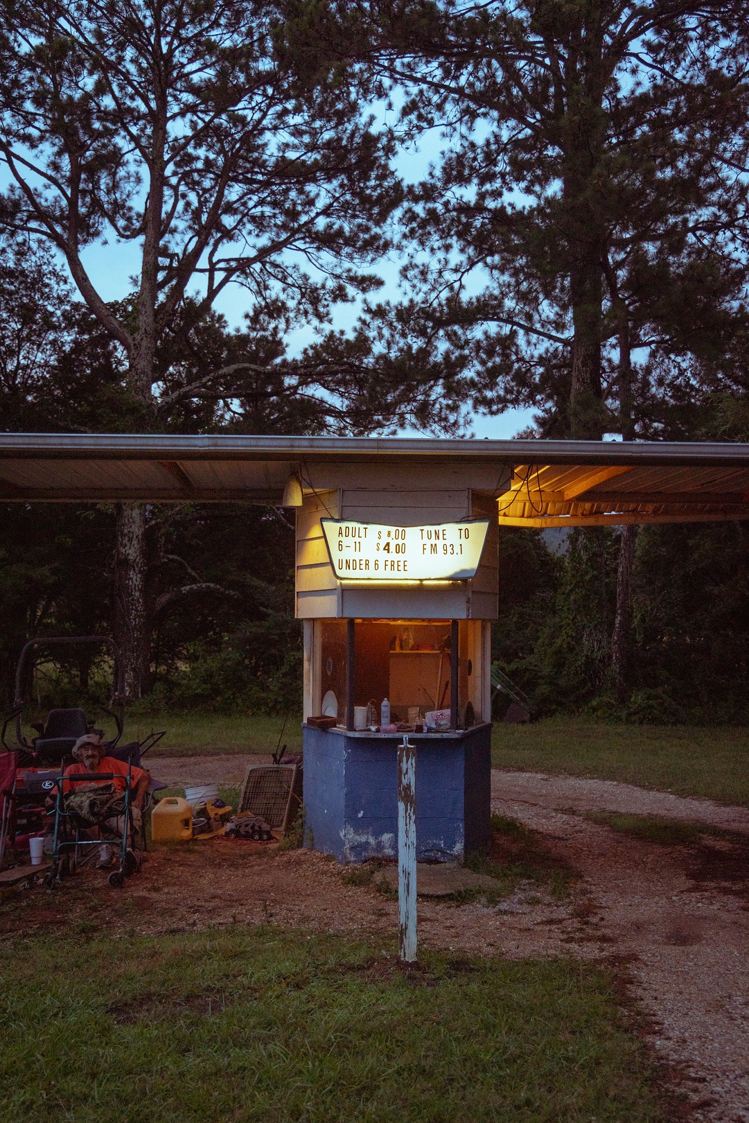
King Drive-In


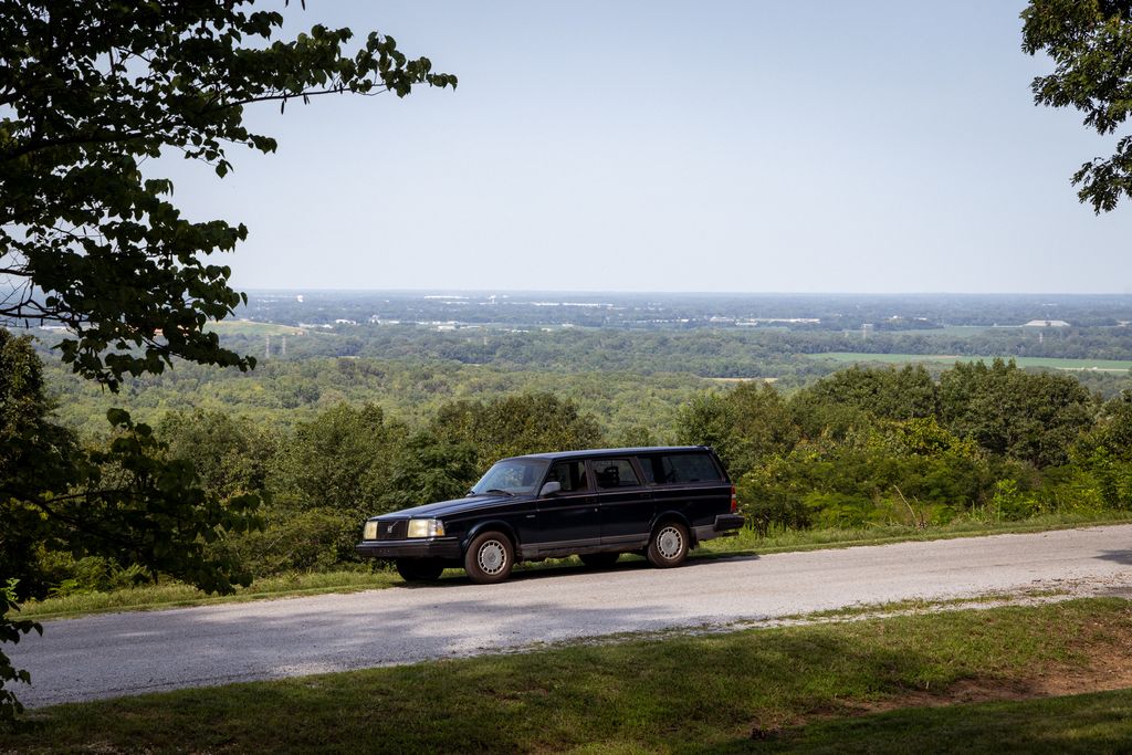
Colbert Heights

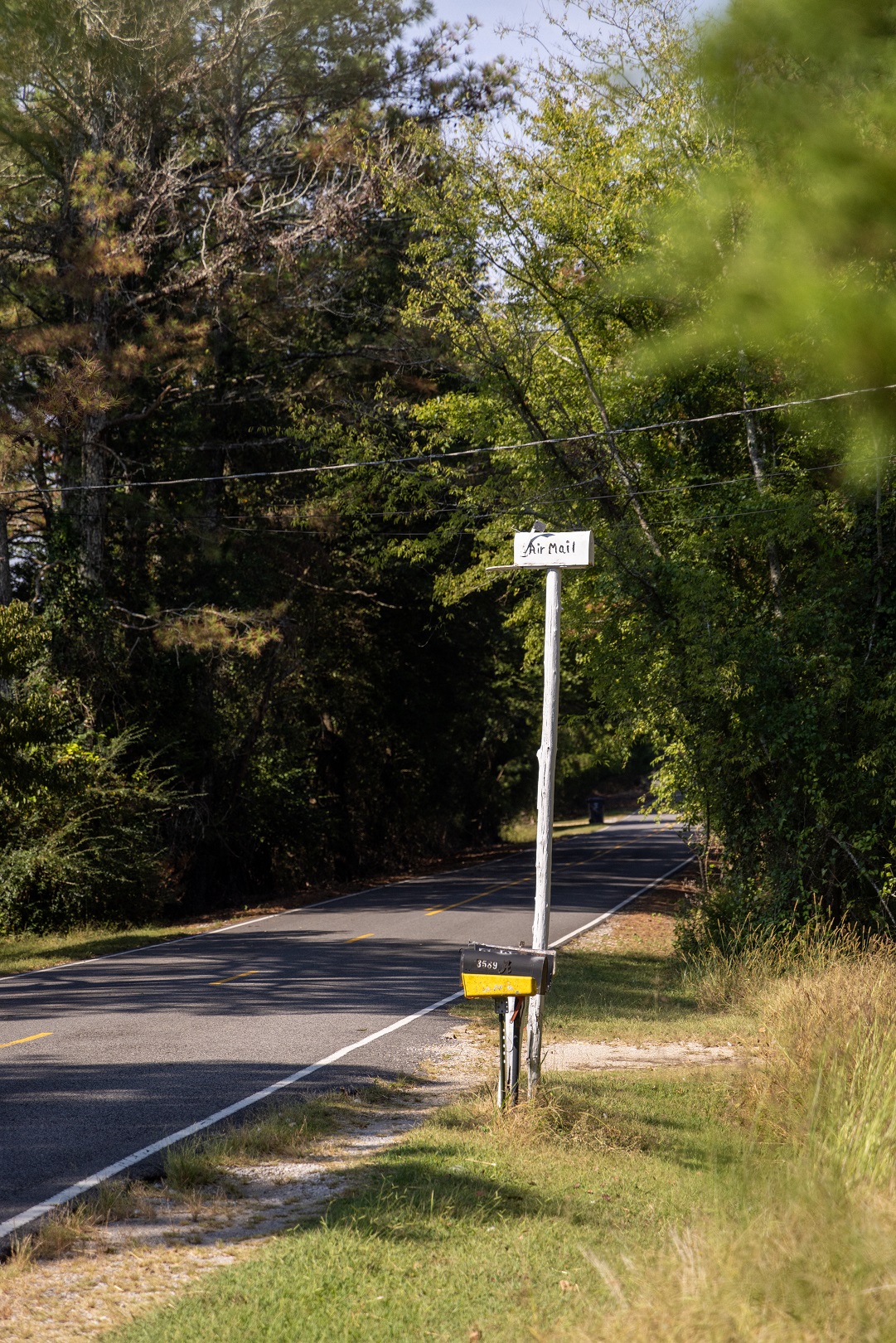
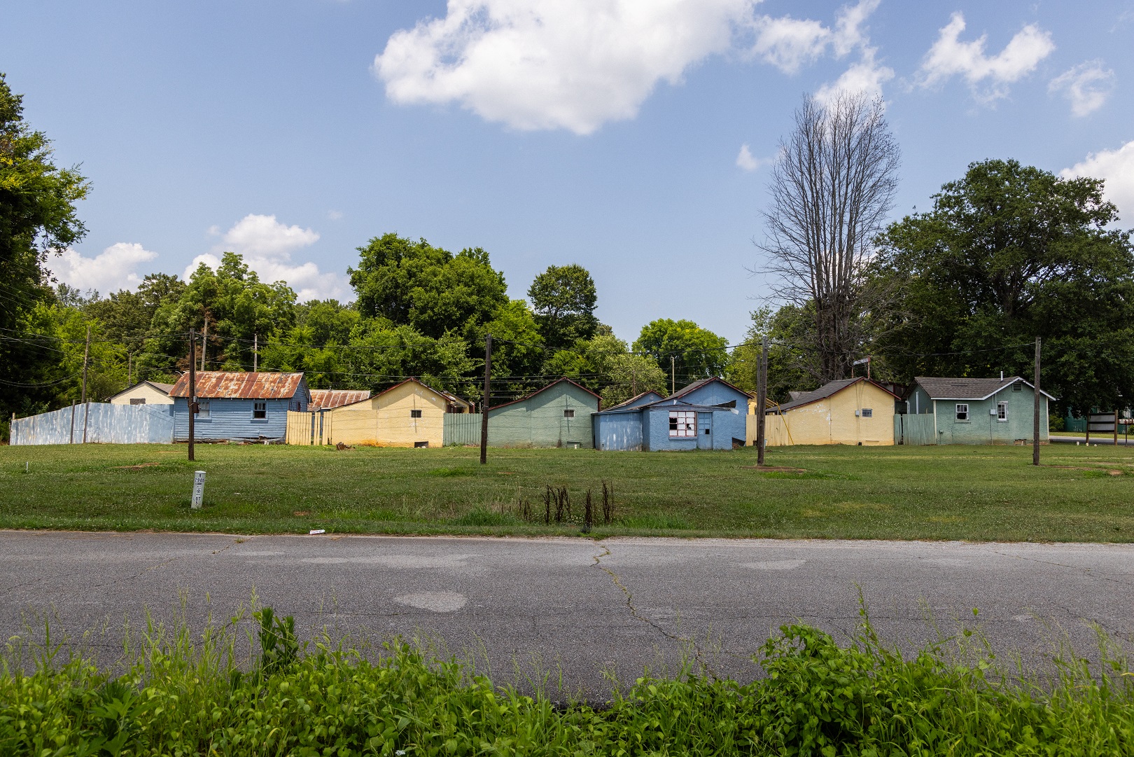
Frog Pond
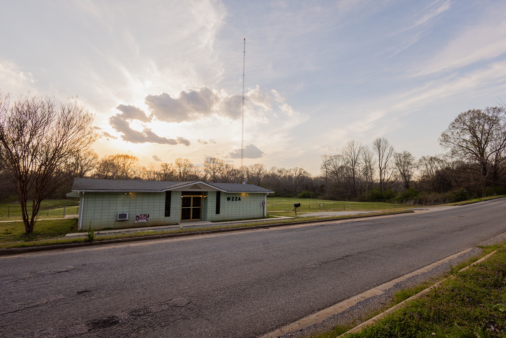
Frog Pond is one of several eponymously named communities located in Franklin County that sprang up along Jackson’s Military Road as it snaked through the largely unoccupied lands near the western edge of Alabama.

Downtown Russellville
Russellville, named for Major William Russell and founded in 1819, has a history rooted in agriculture and industry. The town grew around the intersection of Jackson’s Military Road and Gaines Trace. Due to the agricultural economy present there, an influx of Hispanic immigrants began in the 1990s and has greatly contributed to its present-day status as an extremely diverse city in Franklin County.


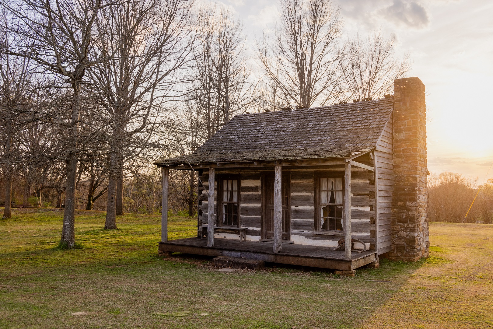
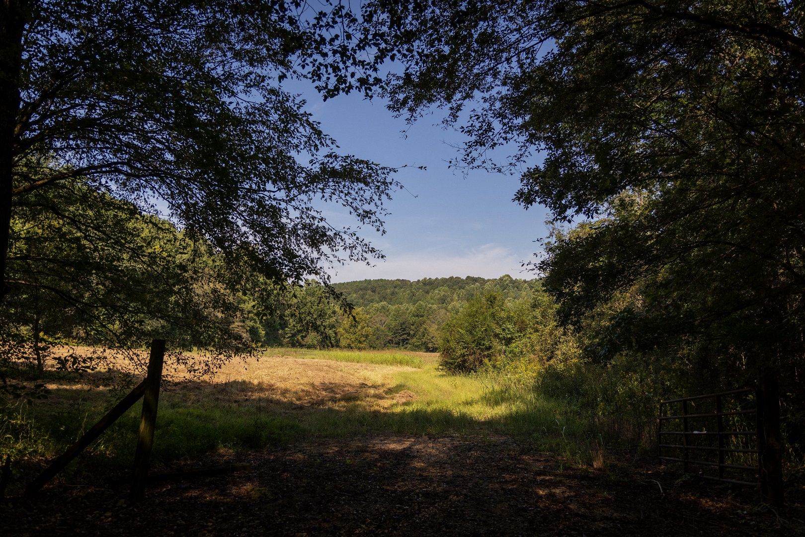
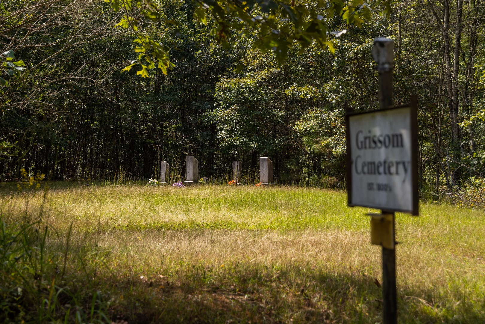
Lawler Cemetery, Phil Campbell

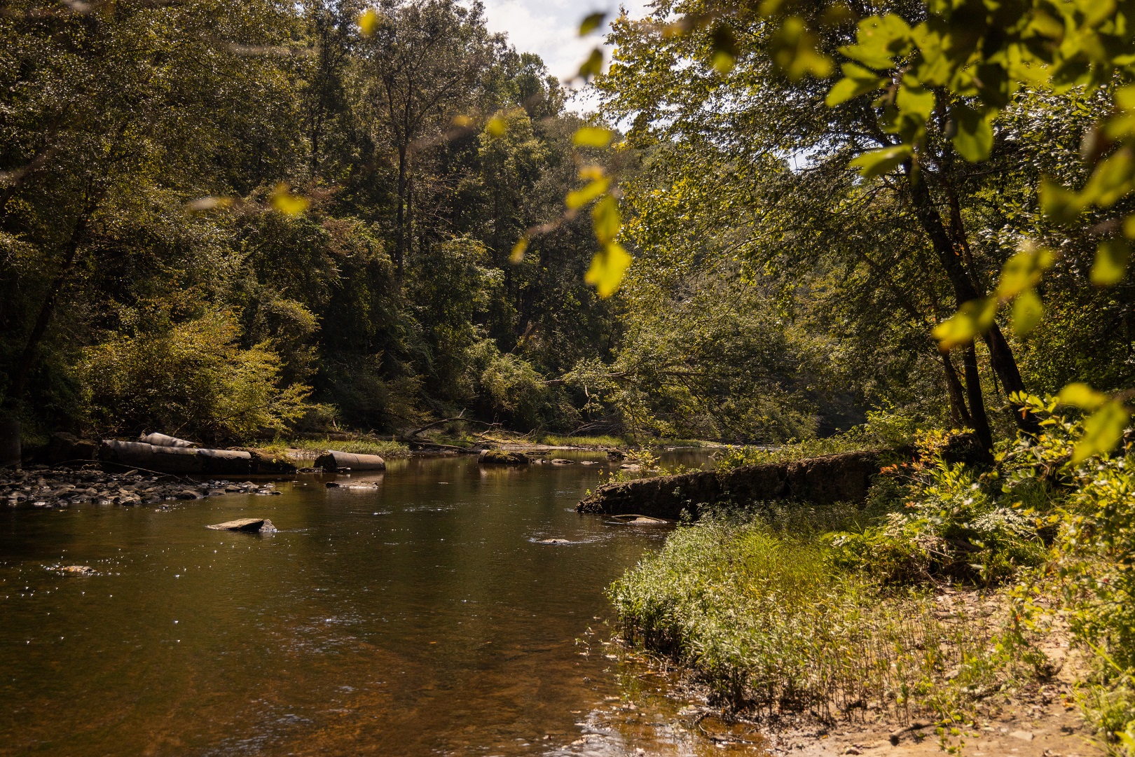
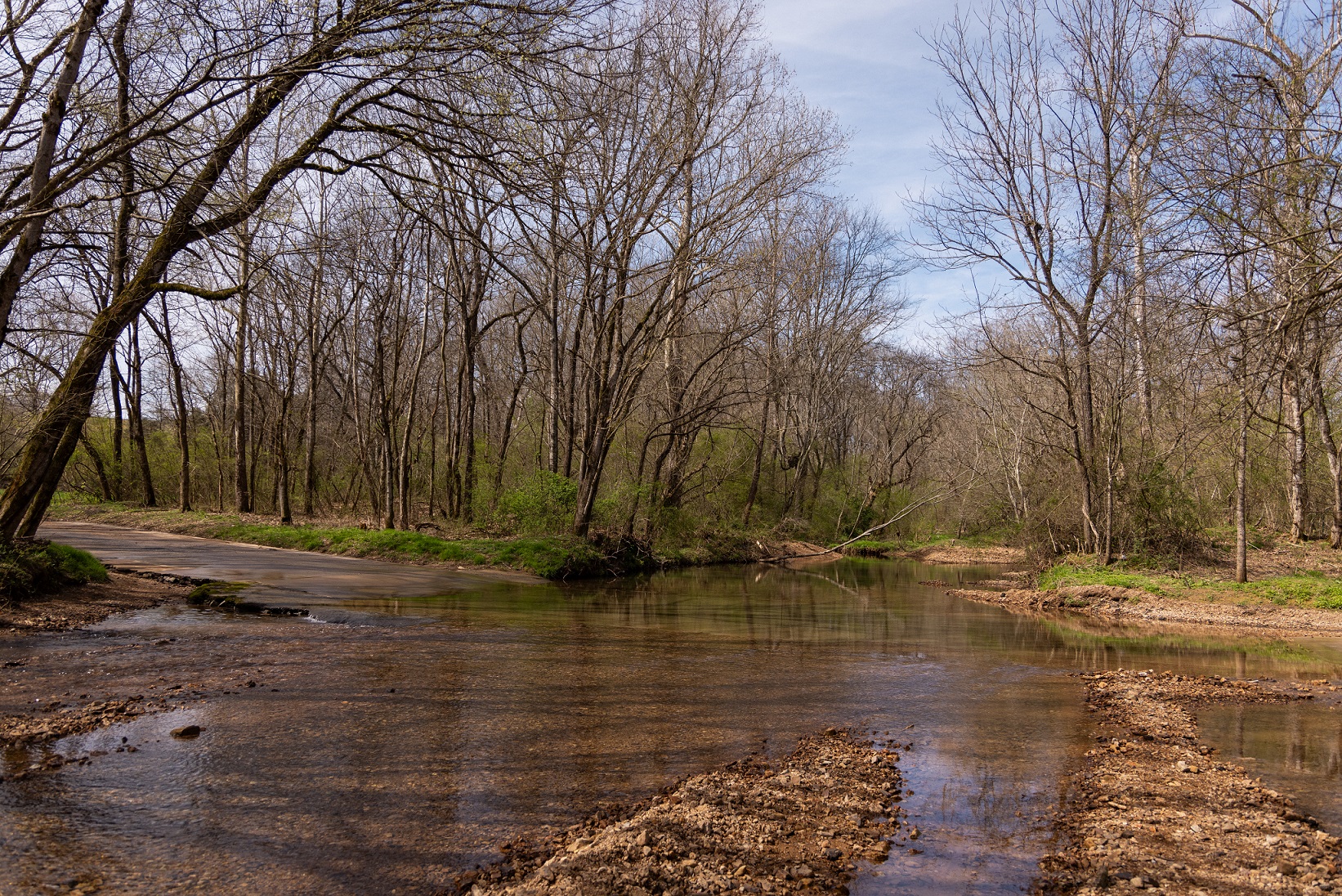
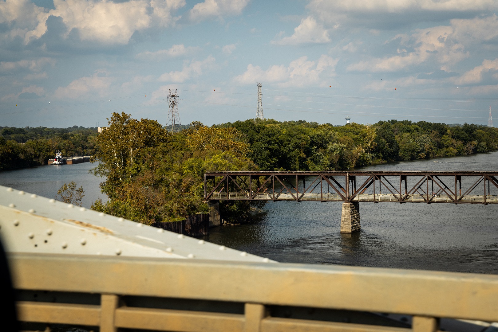
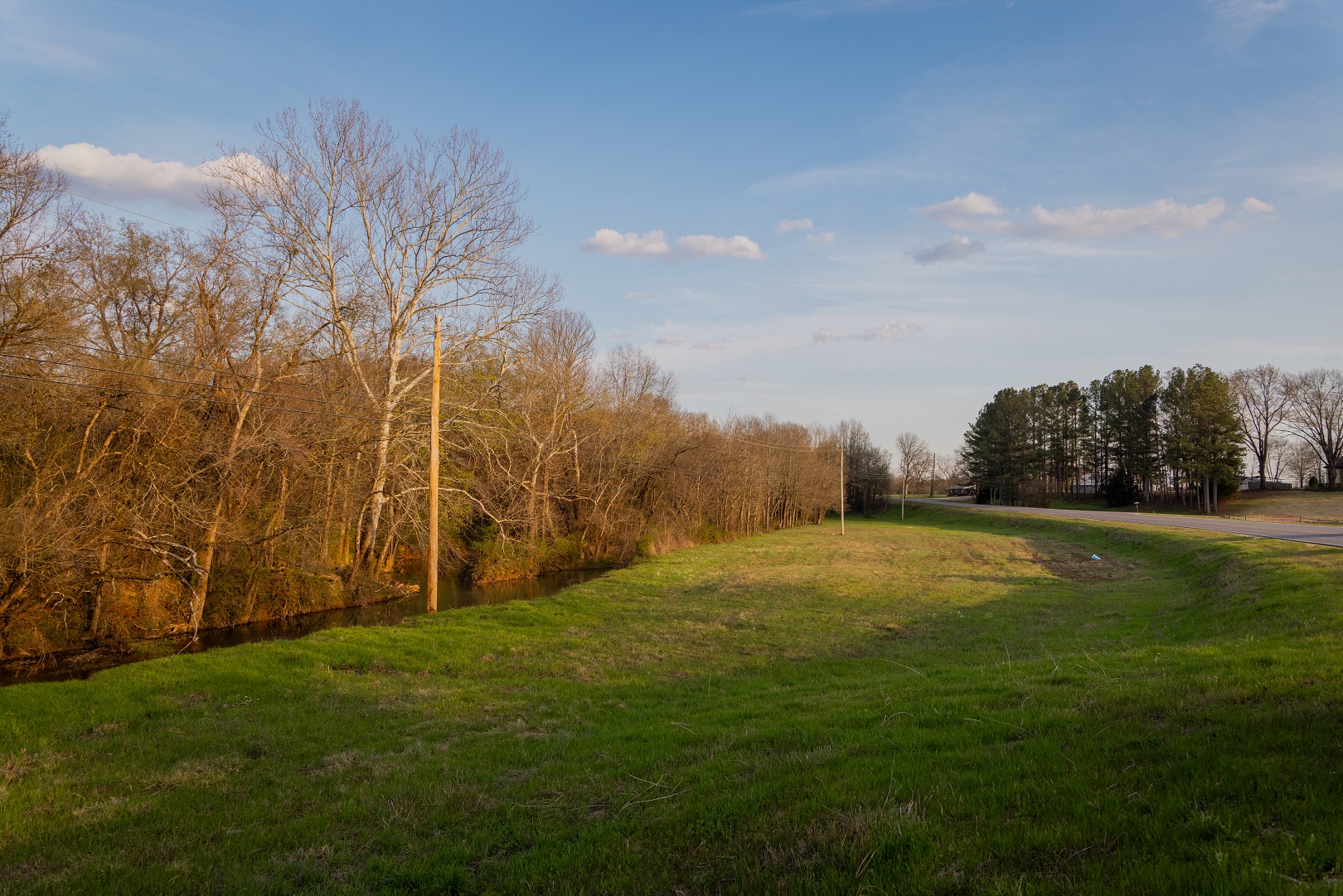
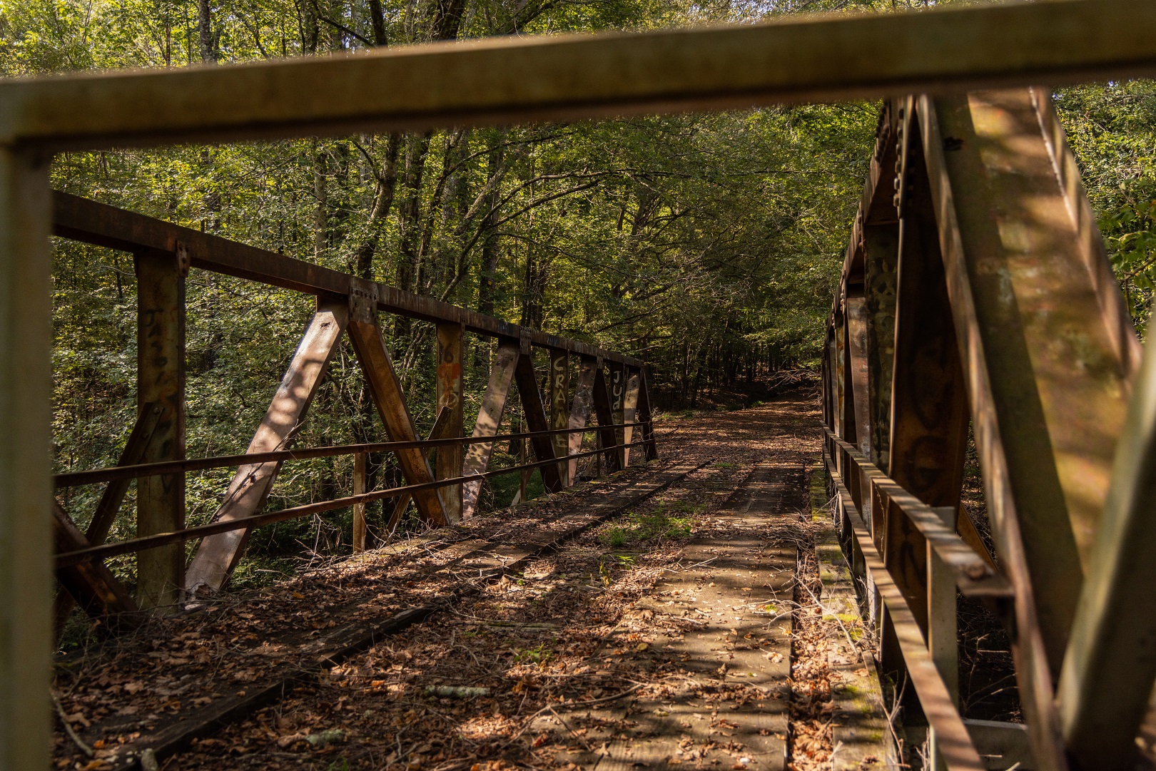
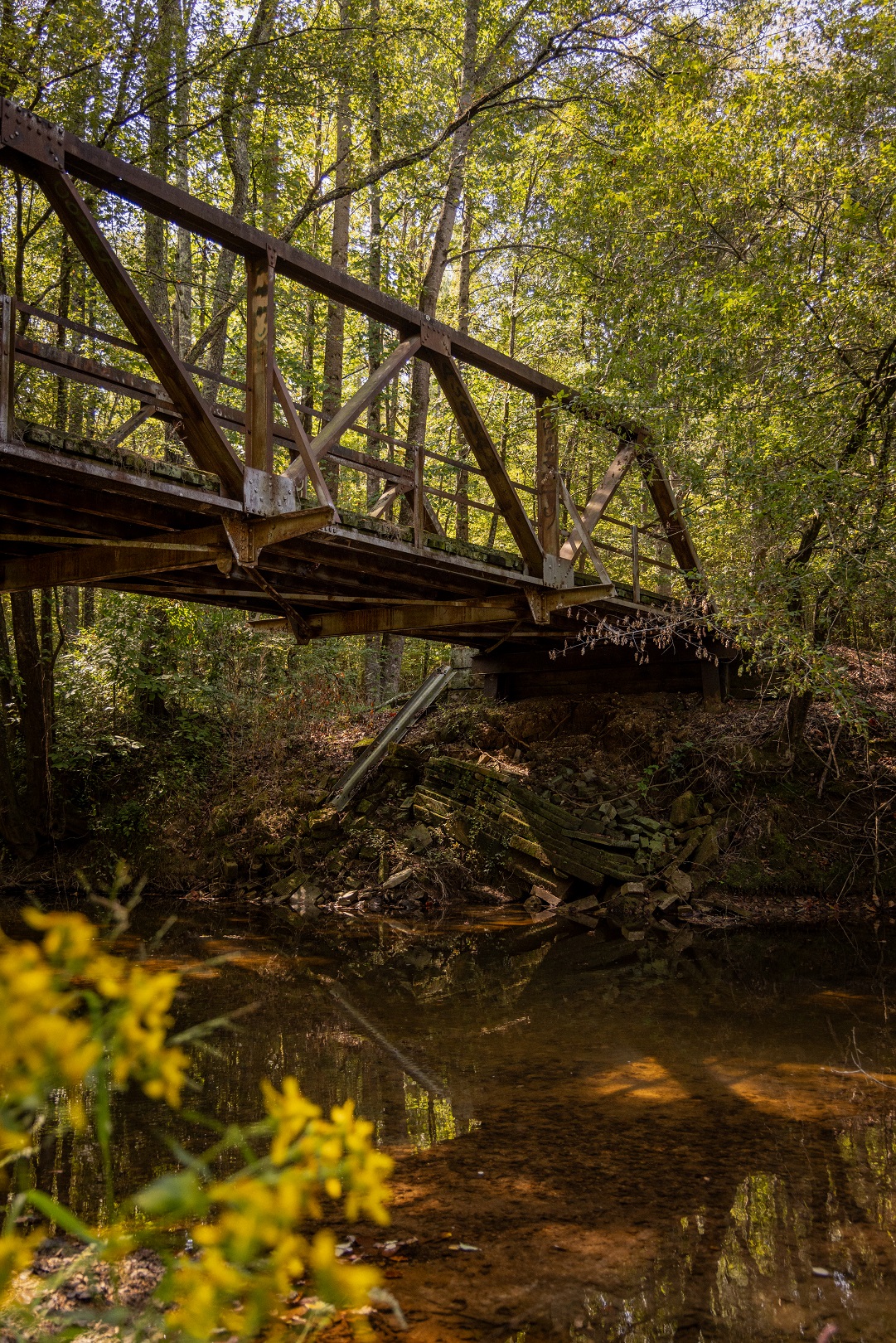
Bear Creek
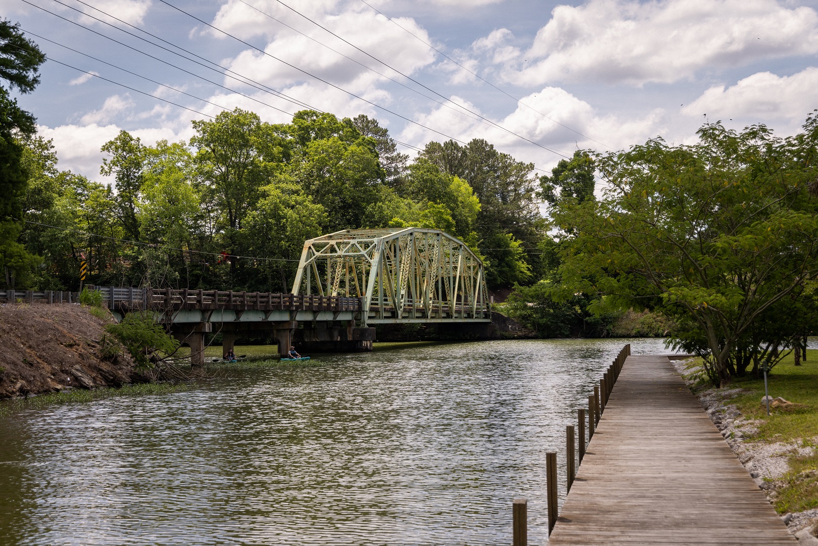
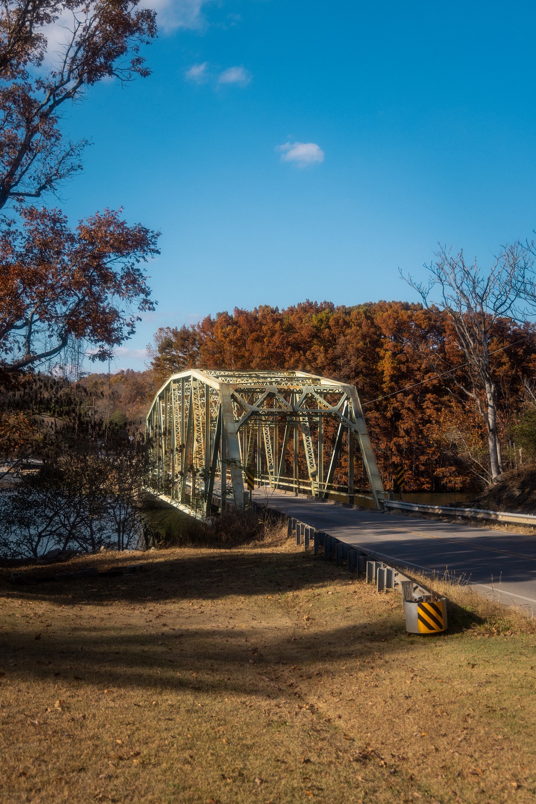
The Bear Creek Water Control Project is a system of four lakes and their surrounding woodlands created by TVA in the 1960s. Jackson’s Military Road crosses the 30-mile canoe float stream located between Upper Bear and Big Bear Reservoirs at this point.
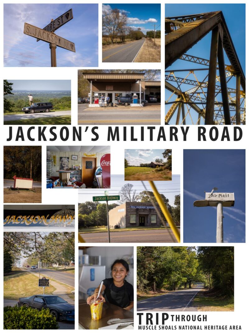
My Jackson Military Road Road Trip
By Abraham Rowe
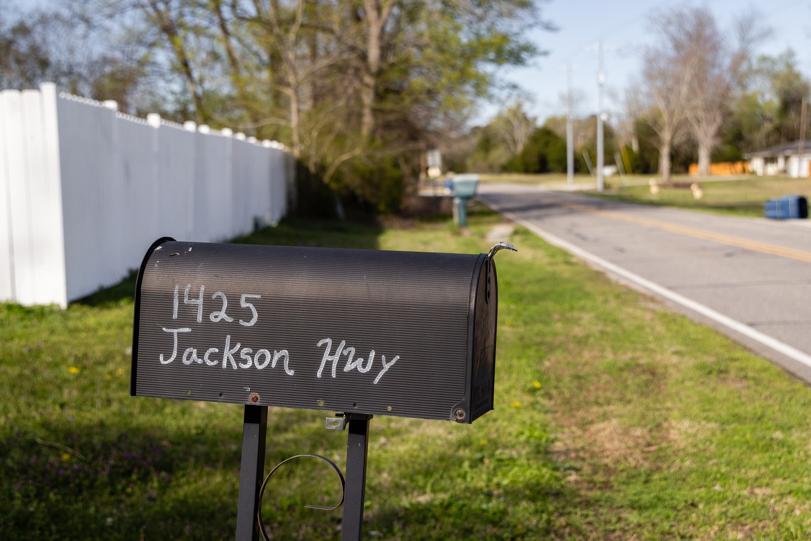
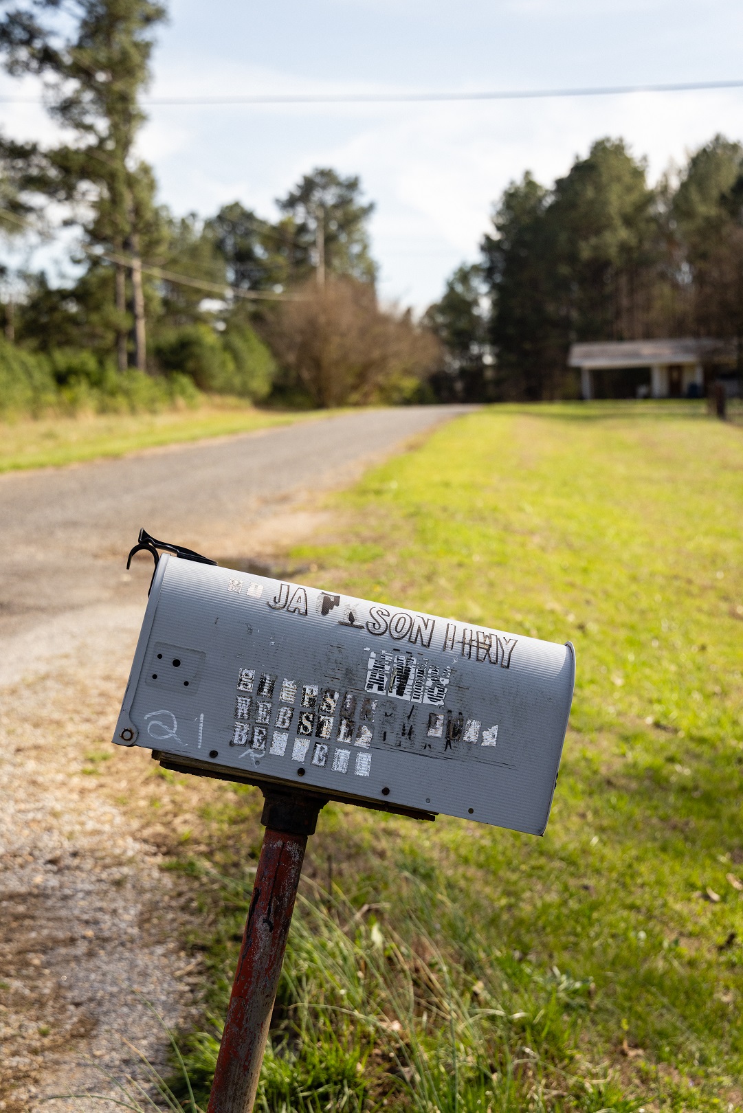
If you travel around northwestern Alabama enough, you start to see some of the same names over and over again: Military Road, Jackson Highway, Old Hickory estates, Old Military Road, Jackson Heights, etc. That similarity isn’t a coincidence — there’s a reason for it.
In 1814 after going back and forth to fight the Indian wars in the Mississippi territories and the British in New Orleans, Andrew Jackson petitioned for and received funding for a military road from Nashville to southern Louisiana that would cut over 200 miles off of the most commonly used Natchez Trace route. Completed in three years, it saw minimal military use — falling into disrepair almost as soon as it was completed and, due to advances in steam engines, proving less efficient than water routes.
Regardless of this failure, Jackson Road was successful as a route into northwest Alabama for the American-Euro migration. This wave followed the state’s questionable treaties with Native Americans that forced the indigenous people from their homes.
Today Jackson’s Military Road traverses Florence as Hermitage Drive. The route is noticeable on a map as the only road to bisect the perfect 1818 grid original Florence surveyor Ferdinand Sannoner laid out in 1818 since it predates his design by several years.
I’ve been fascinated by the story and the remnants of Jackson’s Road for years. How does such an historic piece of infrastructure affect today’s landscape? How does the context of “then” fit into the reality of “now”? I decided to find out by treating the route as road trip — traveling its length to explore connections between the original and the present-day.
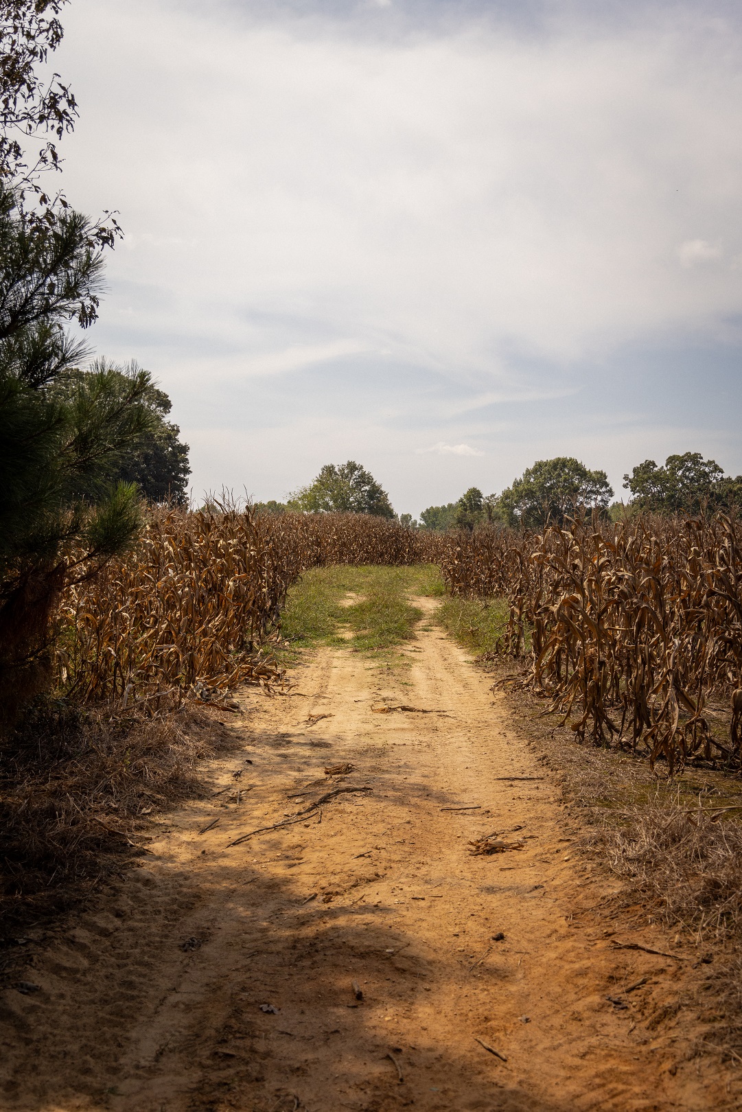
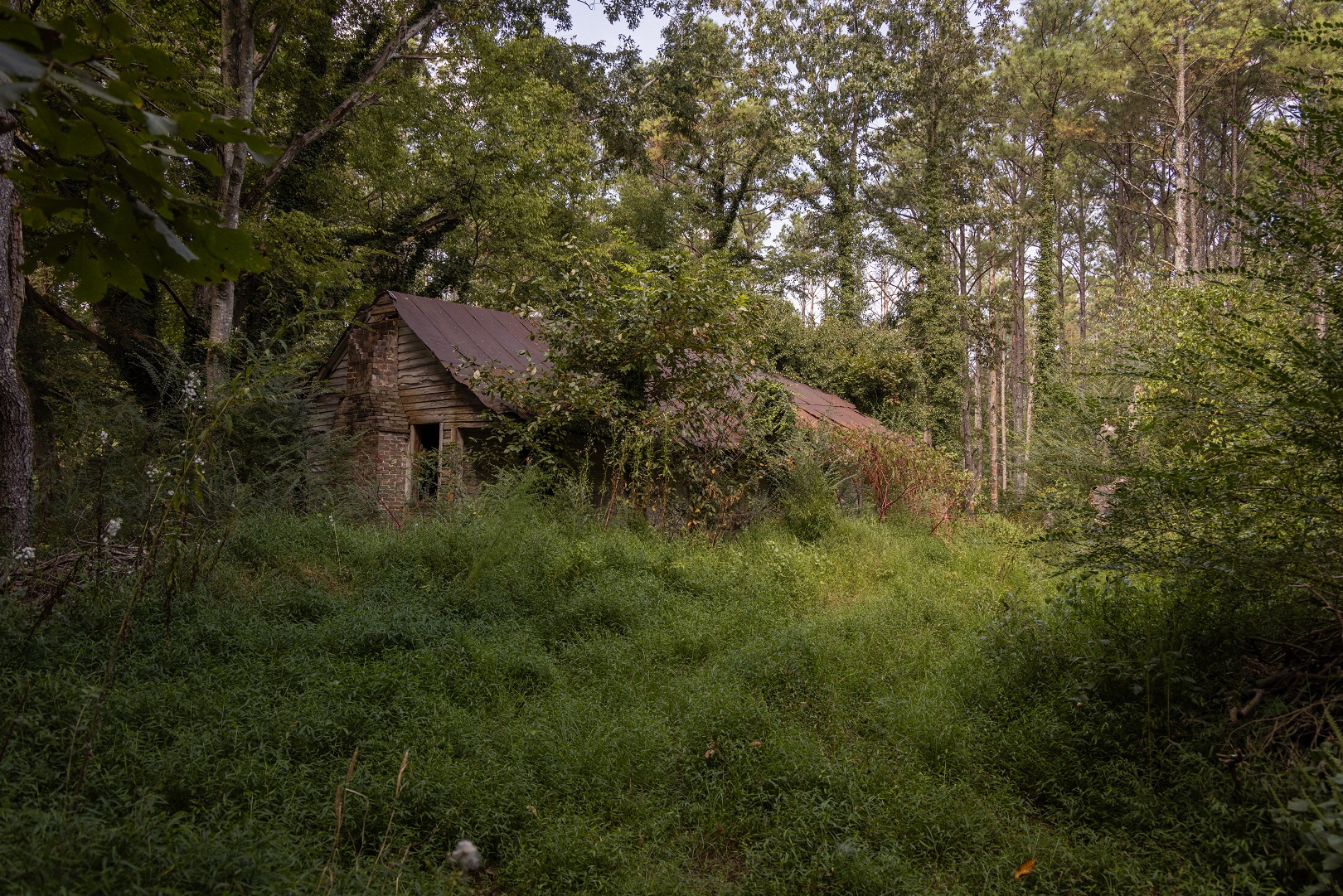
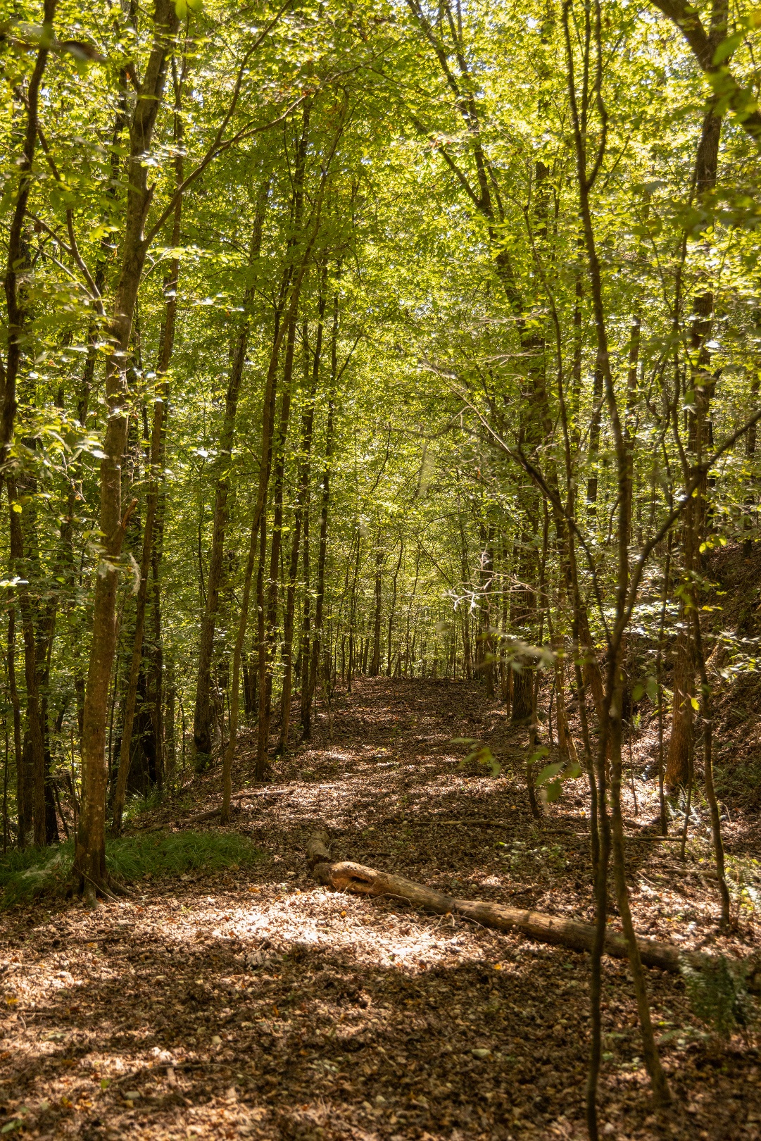
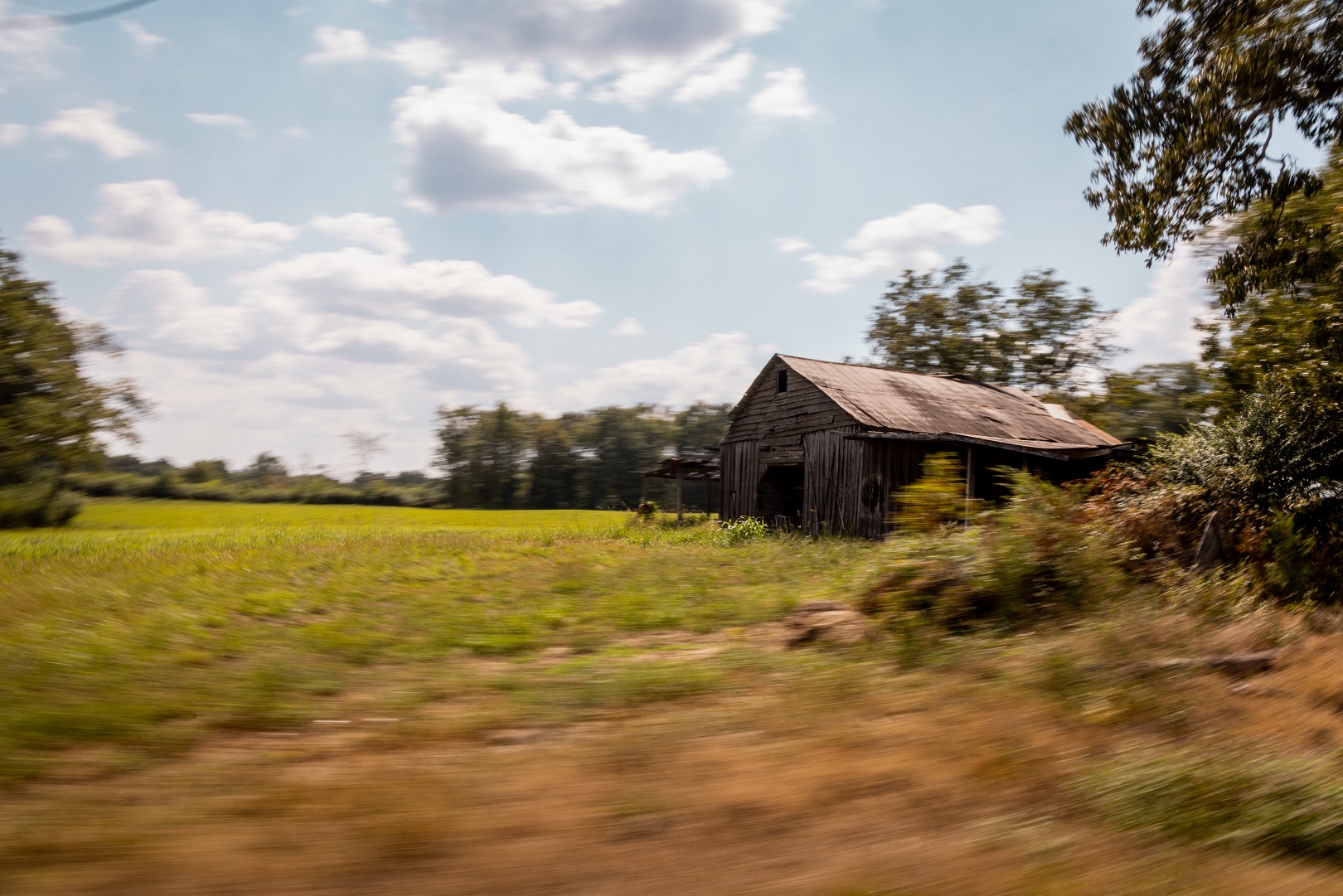
What I discovered was a slice-of-life journey through northern Alabama taking me past farms, cotton fields, old gas stations, suburban neighborhoods, city parks, churches and football fields. As I searched for the original route, it was a fun challenge to weave through different streets and walk down closed-off sections of the original road while identifying sections that are now private property. What was it like to forge a road with horses and manual equipment through this rough terrain? Where would travelers have crossed the river? Why did the road go up Colbert Heights mountain instead of around it?
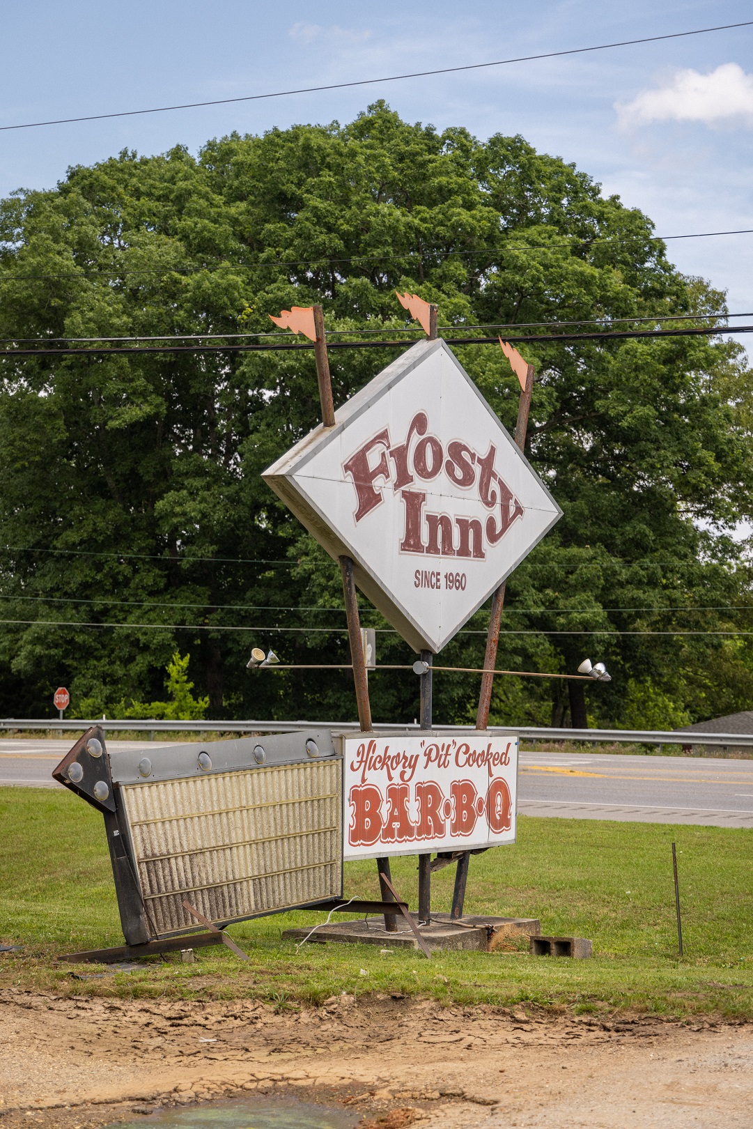
I started in Alabama to visit the grave of Green Hill — in Green Hill. Then I ate lunch at Shoals Shack and a filled up at the throwback full service St. Florian gas station. Next I drove through Florence, past iconic 3614 Jackson Highway and the Muscle Shoals Record Shop in Sheffield, through Tuscumbia and up Colbert Heights mountain to overlook the Shoals. Continuing on past iconic King Drive-in, I went through historic downtown Russellville (quick stop for tamales at el Quetsal and soft serve at Frosty Inn) before ascending into Hackelburg. With so many great stops, this 60-mile route could easily take all day!
Although it never served its original purpose, Jackson’s Military Road helped develop northwest Alabama and the Shoals into what we know it as today. With so many beautiful landscapes, cultural gems and quirky hole-in-the-wall stops, a trip along Jackson’s Military Road is an intriguing historical slice-of-life journey and a great way to adventure through the Shoals.